The comfort zone
When is the last time you have left your comfort zone? It’s sadly been a while for me when it comes to sports and I therefore decided to embark on one of my longest trail runs ever. Growth usually happens when you leave your comfort zone. The top of Zugspitze seemed like the ideal target.

Zugspitze – Top of Germany
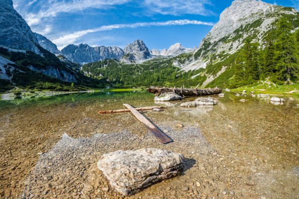
The Zugspitze is Germany’s highest mountain and stands 2962m/ 9718ft tall. There is a multitude of trails to choose from to reach the top. Many of them require mountaineering equipment and experience. There are just two trails which are categorised as the ‘easy’ way to get up there. One of them is called the Reintal trail and it covers 26 km/ 16 miles from Garmisch to the top. You pass through some of the finest landscapes the Alps have to offer while climbing over 2500 m / 8500 ft. Most people split the trek in two parts and spend the night in one of the mountain huts along the way. My goal was to reach the top in under six hours.

Photos from the trail
To follow up on my prior post, the GoPro Hero 11 came along for the run. It comfortably sat in the pocket of my running shorts and no amount of sweat or dirty prevented me from pulling it out frequently. By the way, one of the great things about the latest versions of the GoPro is that the lens stays clear of sweat and moisture. Without further ado, here are some of the photos from this run.


Enjoyed this post? I share new photos regularly on Instagram and post cycling and travel videos on YouTube. Follow along, or browse more stories on the blog.